Overview
Fairview Canyon doesn't have a marketing budget. There's no famous race here, no Instagram moment that goes viral, no reason most cyclists outside of central Utah know it exists. What there is: a clean paved road that climbs east from the town of Fairview through a narrow canyon into the Manti-La Sal National Forest, gaining 3,016 feet over ten miles before the turnaround, with traffic so light you can ride the center line for stretches without consequence. The Sanpete Valley is one of the quietest places in Utah, and UT-31 through Fairview Canyon is a fitting extension of that — honest, uncommercialized, and genuinely beautiful once you're in it.
The route climbs from Fairview's valley floor at roughly 5,900 feet to a turnaround near the canyon rim at around 9,000 feet, following Cottonwood Creek through increasingly dense aspen and pine. The road is narrow and the canyon walls close in as you gain elevation — it's not a place you want to ride in wet weather when the clay-based road shoulders get slick. Dry summer mornings are ideal. The gradient averages something manageable but hits 8% on sustained sections in the upper canyon, and the altitude matters: the air thins noticeably above 8,000 feet on what felt like an attainable effort below it.
At 20.3 miles total and 3,016 feet of gain, this is a hard road climb done twice in three hours by a strong rider, closer to four by someone doing it at a comfortable training pace. It's not a day-ender, but it's not a warmup. The round trip includes the descent back into Fairview, which is fast, narrow, and rewards attention on the tighter corners. A good Tuesday suffer or a worthy standalone effort for anyone who finds themselves in Sanpete County and wants to know what UT-31 actually feels like.
The Route
The route runs east out of Fairview on UT-31, climbing along Cottonwood Creek through Fairview Canyon, entering Manti-La Sal National Forest, and continuing to the canyon rim. The return retraces the same road.
Miles 0–3: Fairview Valley Floor to Canyon Mouth The first three miles leave downtown Fairview on relatively flat agricultural road before the canyon narrows and the climbing begins. The Sanpete Valley opens behind you — farmland, the smell of irrigation, older ranch buildings — and the road turns northeast to follow the canyon drainage. This is the warm-up you actually get to use.
Miles 3–8: Lower Canyon Once inside the canyon the gradient picks up and the walls close in. Cottonwood Creek runs alongside the road for most of this section, audible even when you can't see it. The road is two lanes but feels narrower, shaded by the canyon walls and increasingly thick forest cover — scrub oak giving way to ponderosa and then mixed aspen and conifer as you climb. Grades hover between 4–6% with periodic steeper kicks. Traffic is sparse; you'll share the road primarily with the occasional pickup truck and nothing else.
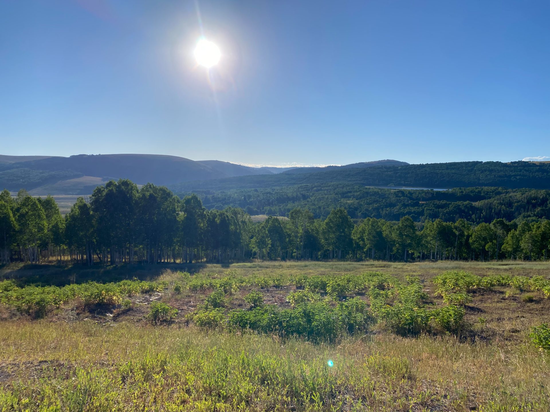
Miles 8–10.15: Upper Canyon (Manti-La Sal National Forest) Above 8,000 feet the road steepens to its upper limits — stretches of 8% grade that ask for a real answer. The forest is dense here, the canyon walls replaced by open ridgeline. The aspen stands are full and green from June through September, going gold hard in early October. The air is noticeably thinner than the valley; the effort climbs even when the numbers don't change. The turnaround comes near the canyon rim before the road crests onto the Wasatch Plateau proper. The plateau extends further — Skyline Drive begins not far beyond — but the out-and-back turnaround at 10.15 miles keeps this a manageable single effort.
Miles 10.15–20.3: The Descent The return is the same road in reverse — a fast, occasionally technical descent through a narrow canyon that rewards attentiveness. The corners in the upper canyon can surprise you if you've been coasting; scrub speed before you need to. Below the forest line the road opens and the valley comes back into view, the familiar wideness of Sanpete County spreading west as you drop. The final flat miles back into Fairview are straightforward and give you time to feel what you did.
What to Bring
- Plenty of water — No services in the canyon; leave Fairview with full bottles and be honest about the distance
- Arm warmers or a light layer — The valley floor can be warm and the canyon rim runs 15–20 degrees cooler; the descent will chill a sweaty kit fast
- Tire pump or CO2 — Remote road with no services; a flat on the descent is an inconvenience, a flat on the climb is worse
- Food for the climb — No cafes or stores in the canyon; the turnaround is not a resupply point
Local Tips
- Best window: June through early October; the road sees snow early — by late October the upper canyon can be icy in morning shade. Summer mornings before 9am are ideal for the descent temps
- Traffic reality: Light on weekdays, slightly busier on summer weekends when people are accessing Skyline Drive; the road is narrow enough that trucks require care even at low volumes
- Extend if you want more: The plateau beyond the turnaround is exceptional — UT-31 continues west toward Huntington Canyon, and Skyline Drive goes south for miles on dirt. Either direction adds significant time and effort
- Post-ride: Manti, 20 minutes south of Fairview, has the best lunch options in the county — try the Sanpitch Cafe for something local and unpretentious