Overview
Most big road days in Utah settle somewhere between ambitious and stupid. This one earns the right to be called simply hard. The American Fork–Midway–Guardsman Loop links three distinct Wasatch drainages into a 76-mile circuit that crosses two mountain passes above 9,000 feet, threads through Heber Valley, and returns via Big Cottonwood Canyon — all on paved roads, all under your own power. The 10,752 feet of total climbing puts it in a category occupied by very few routes in the state.
The route works by stringing together climbs that individually count as full days for most riders: the full American Fork Canyon/Alpine Loop climb, the grind over to Heber Valley, the brutal Guardsman Pass ascent from Midway, and the Big Cottonwood Canyon descent back to the valley. The connective tissue between those landmarks is Heber Valley and US-40, where you get a brief reprieve before the Guardsman climb makes you reassess your life choices. Budget six to eight hours minimum. Carry more food than you think you need. Tell someone where you're going.
This ride is seasonal by necessity — Guardsman Pass doesn't open until late June in most years, and the Alpine Loop closes with first snow in October. The window is narrow but the window is exceptional.
The Route
The loop typically starts from the American Fork Canyon mouth and runs clockwise: American Fork Canyon to the Alpine Loop summit, descent to Provo Canyon, south on US-189 to Heber City, north to Midway, up Guardsman Pass, down Big Cottonwood Canyon, and return to American Fork via surface roads.
Miles 0–16: American Fork Canyon to the Summit From the fee station at the canyon mouth, SR-92 begins its long climb through American Fork Canyon. The first ten miles are the benchmark that most Wasatch front road cyclists already know — steady 4–6% grade, canyon walls, consistent road surface. Past Sundance the road narrows and steepens into the upper canyon, pushing through dense aspen stands before cresting near 8,000 feet at the Cascade Springs junction. This is the warm-up. Act like it.
Miles 16–24: Alpine Loop Descent to Provo Canyon The descent off the Provo Canyon side of SR-92 is fast and winding through aspen forest. The road is narrow with limited sight lines on the switchbacks — carry appropriate speed. You shed nearly 3,500 feet in eight miles. By the time you reach US-189 at the canyon mouth, the legs feel deceptively fresh from the descent, and Timpanogos looms above you in a way that makes the rest of the day feel somehow reasonable.
Miles 24–44: Provo Canyon to Heber City to Midway South on US-189 through Provo Canyon is straightforward and mostly flat, following the Provo River past Deer Creek Reservoir into Heber Valley. Traffic here is the main concern — US-189 carries real highway volume. The valley floor at Heber City (~5,600 ft) is the low point of the route and the last moment of genuine flat riding. Eat. Drink. The Midway approach is short on distance and long on consequences.
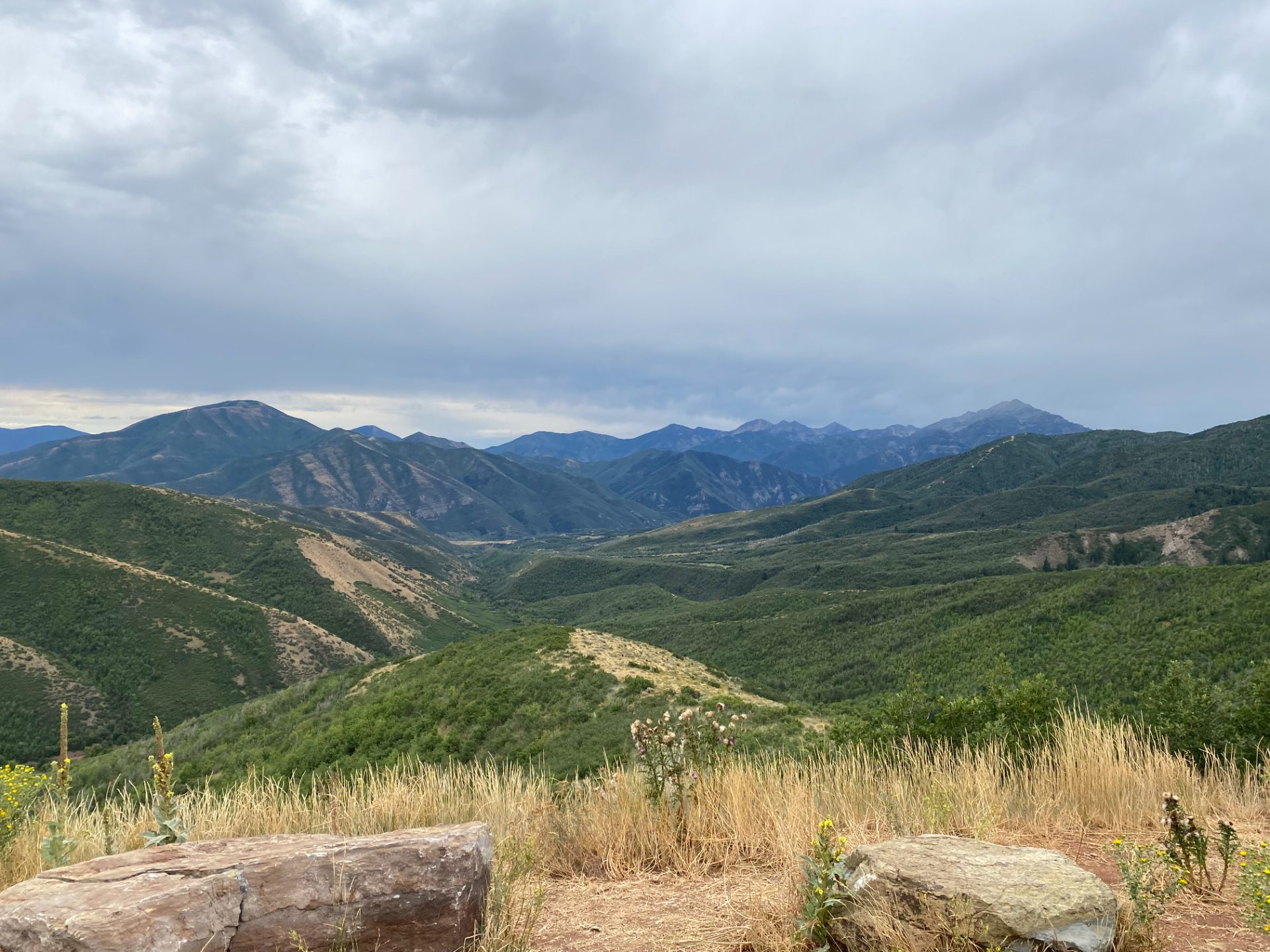
Miles 44–53: The Midway Guardsman Climb This is the reckoning. The ascent of Guardsman Pass from Midway is 8.8 miles at an average of 8.5% grade — one of the hardest road climbs in Utah by any reasonable measure. The opening miles through Midway are deceptively gentle, but the road wastes no time getting steep. There's a sustained section near miles 2–3 averaging close to 12%, and the grade rarely backs off enough to fully recover. The pavement is narrow and the traffic is light, which is the only mercy. The summit at 9,717 feet earns views that bridge the Salt Lake Valley and Heber Valley simultaneously. Take that in, put on a layer, and prepare for the descent.
Miles 53–66: Big Cottonwood Canyon Descent The descent from Guardsman Pass into Big Cottonwood Canyon is long and fast, dropping through Solitude and Brighton ski areas before the canyon opens up and the grade mellows. The road is wider here than Guardsman Pass — more traffic, better shoulder, easier to carry speed. Watch for cyclists coming up the canyon in the opposite direction and give the hairpin turns appropriate respect in the upper section.
Miles 66–76: Return to American Fork The final miles leave Big Cottonwood Canyon at the mouth and navigate surface streets back to American Fork. This section through Sandy and Draper is the least scenic stretch of the day — urban roads, stoplights, the indignity of being tired at mile 70 and needing to pay attention. Use it as a cooldown. You're almost done.
What to Bring
- Three full bottles and a plan to refill — there are convenience stores in Heber City at mile 44; plan around that stop
- Two substantial food carries — at least 1,500 calories on the bike; bonking before Guardsman Pass is a very bad situation
- Layers for two descents — the Alpine Loop descent and the Big Cottonwood descent both hit you with sustained cold airflow; pack a lightweight jacket that packs small
- Fee cash — American Fork Canyon charges $6 day use at the entrance; exact change speeds things up
- Charged phone and downloaded map — cell service drops out in both canyons; know the route before you lose signal
- Emergency contact — tell someone the plan and when to expect you back
Local Tips
- Best window: Late July through mid-September, after Guardsman Pass snow clears but before early October closures; aim for a Tuesday or Wednesday to minimize car traffic in both canyons
- Start time: 6:30–7:00am is about right — you want the Alpine Loop climb done before midday heat and the Guardsman summit before any afternoon thunderstorm development
- Guardsman Pass traffic: The pass road from Midway is rarely busy with cars, which is good, because the grade demands full road width on the steep pitches
- Heber City resupply: Several gas stations and a convenience store on Main Street — use the Midway/Heber section intentionally, not just as a pass-through
- Post-ride: You will have earned a real meal. Communal Bakehouse in American Fork or J. Dawgs in Provo are both within striking distance of the finish