Overview
Corner Canyon is Draper's answer to the question of what happens when a city takes trail building seriously. The system sits on the south end of the Salt Lake Valley at the base of the Traverse Mountain ridge, and what it lacks in alpine drama it makes up for in density: tight singletrack through Gambel oak, technical rock features scattered throughout, and a trail network that rewards repeat visits because you keep finding new combinations that work. The 16-mile loop with 2,730 feet of climbing represents a solid version of the full system — enough to feel like a real effort, short enough to repeat on a weekday before work is theoretically over.
The climbing is front-loaded and honest. Clark's Trail is the standard uphill route — 1.6 miles, 750 feet, sustained and not particularly forgiving — and most full-system loops add additional climbing before you get to the descent. The payoff is Ghost Falls, Jacob's Ladder, and the flowing singletrack that drops back toward the Equestrian Center. This is a go-to system for good reason: it's close, it's well-maintained, and it consistently delivers a satisfying ride on almost any bike with 29-inch wheels and reasonable tire tread.
The trails are directional in sections — Clark's Trail and Jacob's Ladder have designated one-way flow for bikes — so know your route before dropping in.
The Route
The loop starts from the Corner Canyon Equestrian Center parking area off Highland Drive, climbs via Clark's Trail to the upper system, traverses the rim trails, and descends via Ghost Falls and the lower connector network.
Miles 0–2: Lower Canyon and BST Approach From the Equestrian Center, the route begins on the Canyon Hollow trail and the lower sections of the Bonneville Shoreline Trail (BST). The terrain here is dry, exposed scrub oak and limestone — thin soil, occasional loose rock, and the kind of climbing that wakes up your legs faster than you'd like at the start of a ride. Keep the effort controlled; the upper trails demand something in the tank.
Miles 2–4: Clark's Trail Clark's Trail is the primary uphill route into the Corner Canyon system and it doesn't ease you in. The 750-foot gain over 1.6 miles averages out to something that makes your calves aware of your breakfast choices. The trail surface alternates between packed dirt, embedded rock, and loose chunks that require attention — this is not a heads-down grind. The singletrack is narrow and well-worn, shaded in spots by the oak brush that lines both sides. Pay attention to the directional flow.
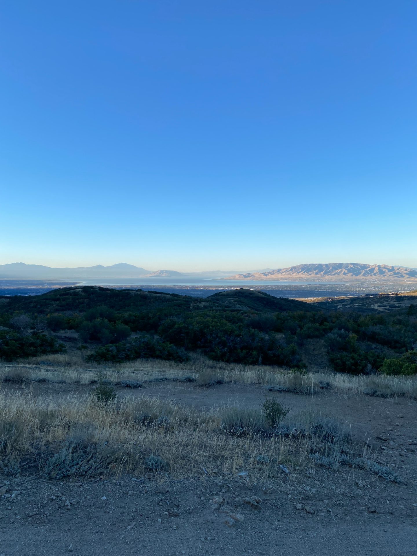
Miles 4–9: Upper Canyon and Rim Traverse The upper canyon trails connect Clark's summit to the Ann's Trail corridor and the Traverse Mountain rim. Ann's Trail runs east-west just below the ridgeline with views into both the Salt Lake Valley to the north and Utah Valley to the south. This section is more open, less technical, and rewards a faster pace — the terrain is flowing hardpack with occasional embedded rock and gentle grade changes. The exposed sections here can be punishing in summer heat; the rim catches afternoon wind that's alternately a blessing and a nuisance.
Miles 9–12: Jacob's Ladder Jacob's Ladder is a black diamond, one-way descent — 800 vertical feet in 1.3 miles, which is the kind of math that clarifies your position on technical MTB. The trail drops through a series of tight switchbacks, choke points between rock features, and sustained steep grades that demand commitment. Riders who wash out here do so because they brake at the wrong moments. It's not Moab-technical, but it's not a flow trail either. Stay loose, trust the tires, and don't attempt it for the first time on tired legs.
Miles 12–16: Ghost Falls and Return Ghost Falls drops through the scrub oak drainage with the falls themselves — a seasonal waterfall that ranges from genuinely scenic to barely a trickle depending on snowpack and month. The trail below the falls connects to Canyon Hollow and Rush Trail for the final return to the trailhead. Rush is a dedicated flow trail with bermed corners and smooth pumped sections — it's a genuine pleasure after the technical demands of the upper system, and it's where Corner Canyon shows its broad appeal.
What to Bring
- 2 full bottles — Corner Canyon has no water on trail and the south-facing exposure makes this ride drier than you'd expect even on mild days
- Knee pads — Jacob's Ladder doesn't leave much margin for error, and the limestone rocks are not forgiving
- Proper tire tread — the limestone and shale mix in the upper canyon punishes worn-out XC tires; a trail tire with 2.2–2.4" tread is appropriate
- Sunscreen — the upper rim traverse is fully exposed; mid-summer without sunscreen on an all-day ride is an uncomfortable lesson
Local Tips
- Best window: May through mid-June and September through October — summer heat on the south-facing lower trails is genuinely unpleasant after 10am; the system is best in shoulder seasons or early morning in summer
- Directional trails: Clark's Trail and Jacob's Ladder are one-way for bikes — check the Draper City trail map before your first visit; going the wrong direction on Jacob's Ladder is a bad situation for everyone
- Combine it: Strong riders link Corner Canyon to the Three Falls trail system in Alpine for a cross-canyon day that covers significantly more terrain; the connector trail is improving annually
- Parking: The Equestrian Center lot fills early on weekends; corner of Highland Drive and Traverse Ridge Road has overflow parking a short roll from the trailhead
- Post-ride: Kneaders Bakery on 12300 South in Draper, or the Shake Shack in Draper Town Center if you want something cold after summer heat