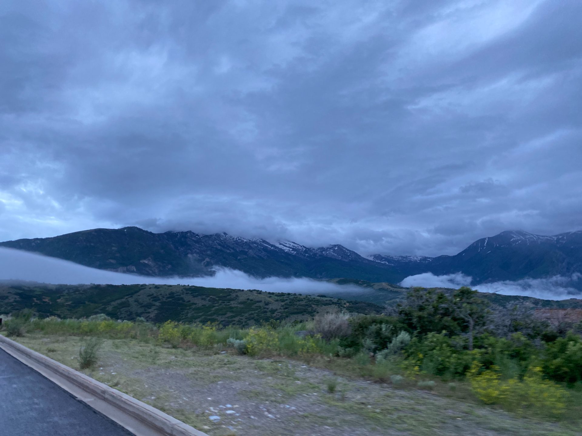
Overview
The Suncrest Road Climb is a tight, punchy loop that earns its views. Starting near the Alpine/Draper boundary, the route winds up onto the Suncrest ridge — a narrow spine of road perched between Utah Valley to the south and the Salt Lake Valley to the north, topping out at just over 6,000 feet.
At under 8 miles with ~1,160 feet of gain, it's short enough to use as a training loop but satisfying enough to stand on its own. The climbing is sustained and honest, the descent is quick and technical, and the panoramic views from the ridge are some of the best accessible by road bike in Utah County.
The Route
The loop climbs steadily from the valley floor up Suncrest Drive before sweeping across the ridge and descending back down to the start.
The Climb From the base, the grade wastes no time. The road pitches up early and holds a consistent 4–6% gradient through the residential section before opening up onto the exposed ridge. The climbing feels relentless in a satisfying way — short enough that you can push the whole thing, long enough that pacing matters.
The Ridge The top of the loop follows the Suncrest ridge road with sweeping views in both directions. On a clear day you can see across Utah Valley toward Mount Timpanogos to the east and out over the Salt Lake Valley to the north. This section is fast and exposed — watch for wind and traffic.
The Descent The return descent is steep and direct. Speeds build quickly, so get your braking done early before the sharper corners. The road surface is generally clean but watch for gravel after wet weather.
What to Bring
- Full water bottles — there's nothing on route
- Layers — the ridge can be significantly cooler and windier than the valley
- Sunscreen — almost no shade on the upper half of the loop
Local Tips
- Best time: Early morning in summer when the air is cool and traffic on the ridge is light
- Combine it: Strong riders link Suncrest with a descent into Draper and a climb back via Traverse Ridge for a bigger day out
- Training use: Local cyclists use this as a threshold loop — the sustained climbing is perfect for 20-minute efforts
- Post-ride: The town of Alpine has a few coffee spots a short roll from the base